
Markets love a sentence. “Agreement reached.” “Talks resume.” “Corridor planned.” A barrel of oil can move before the first tugboat moves an anchor.
A shipping lane is less sentimental. It cares whether the water is navigable.
The chokepoint is a stack.
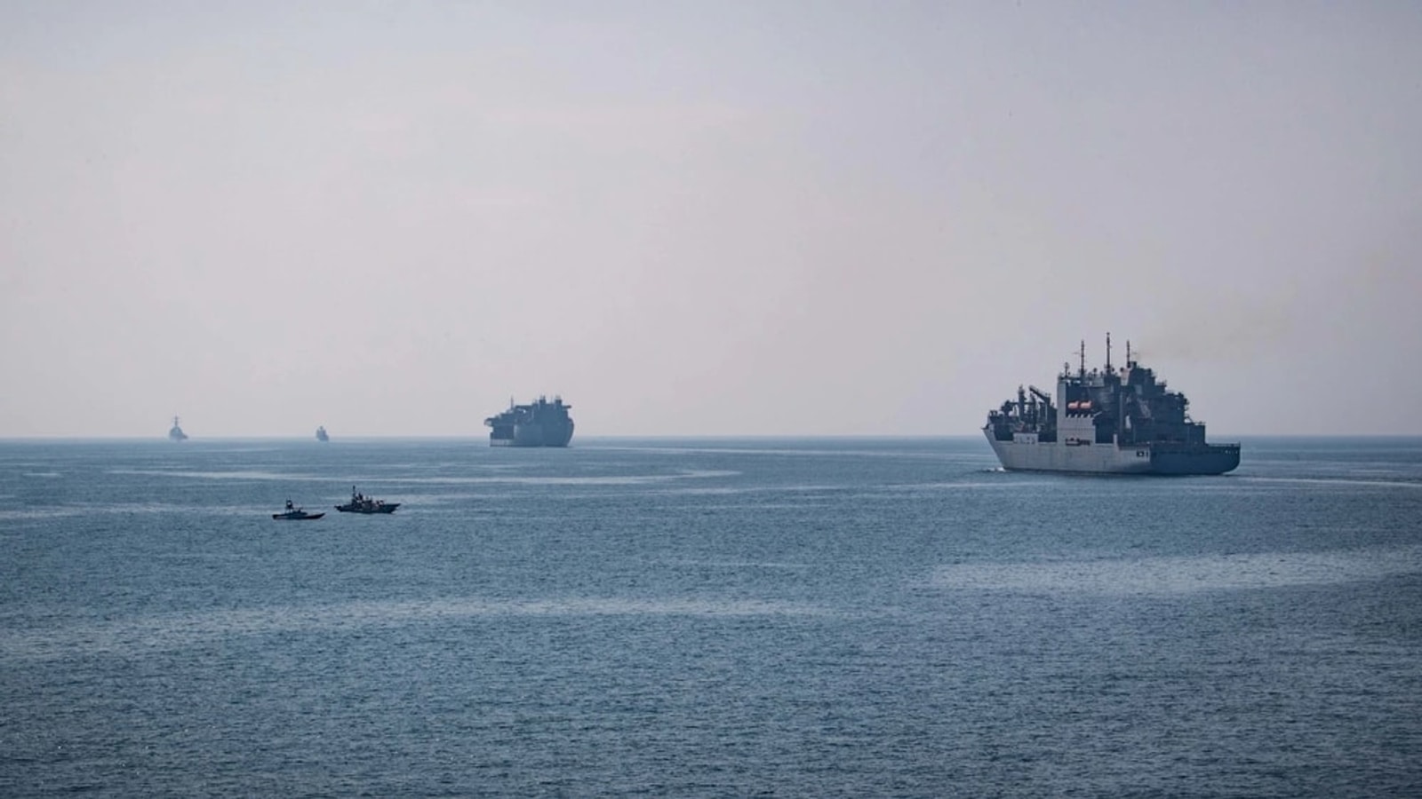
Safe commercial transit through the Strait of Hormuz depends on several layers operating at once: hydrography, mine detection and clearance, vessel identification, communications, traffic separation, military deconfliction, port access, insurer confidence, crews willing to transit, and states willing to enforce whatever arrangement has been announced.
Failure in one layer can throttle the whole corridor. A channel judged physically clear can remain commercially useless if insurers price the risk as unacceptable. An insured route can still fail if mines, seizures, spoofing, or ambiguous rules make masters refuse passage.
Traffic data tells us whether confidence has become motion.
Reuters reported that only five commodity vessels transited on Tuesday, compared with a preliminary 10-day average of 15. That is not the same thing as a full traffic count, and ships sometimes disable transponders, but it is a useful operational indicator.
Diplomatic progress should eventually produce a measurable signature: more transits, shorter waiting times, lower war-risk premiums, fewer route deviations, and less ship-to-ship workaround activity. If those metrics do not move, the political headline has not yet become infrastructure reality.
Mine clearance is information engineering as much as explosive disposal.
Finding a mine is a classification problem conducted in clutter. Sonar returns must be distinguished from rocks, debris, wreckage, cables, seabed features, and false contacts. That requires sensors, positioning, repeat passes, mapping, target classification, and often autonomous or remotely operated platforms before a disposal team ever touches the object.
Kongsberg's current naval and maritime product material provides an example of the technology class involved: multibeam sonar with machine-learning-assisted processing, change detection, target tracking, unmanned-platform integration, and sensor-fusion systems combining radar, AIS, electro-optics, sonar, and autonomous vehicles.
That is an illustration of capability, not evidence of deployment in Hormuz.
Autonomy changes the economics of persistent surveillance.
A crewed ship is expensive to keep everywhere. Distributed unmanned surface and underwater systems can revisit lanes, compare seabed states, inspect suspicious changes, and extend the sensing perimeter. AI is useful here not because it replaces judgment with magic, but because persistent sensing produces more contacts than humans can efficiently triage unaided.
The safety-critical question becomes how classification confidence is represented. A system that says “92 percent likely mine-like object” must preserve enough evidence for an operator to understand whether that confidence came from shape, acoustic signature, location history, a change-detection cue, or a training-set artifact.
Insurance is part of the control loop.
Commercial shipping is not a naval exercise. Even when a state says a corridor is open, shipowners, charterers, lenders, cargo owners, and insurers make independent risk decisions. Their response feeds directly back into traffic volume.
This is why a mine-clearing announcement can lower oil prices before it restores oil flow. Markets price expected future capacity. Physical logistics reveal whether the expectation was justified.
The corridor must survive adversarial behavior.
Iran's reported vessel blacklist, detention threats, U.S. sanctions pressure, and continuing security concerns mean the system is not merely recovering from an accident. Actors have incentives to manipulate access, identification, and perceived risk.
That makes authentication and shared situational awareness central. Which vessel is permitted? Which authority's navigation warning is valid? Which transponder track is trustworthy? Which cleared lane is current? Who is responsible when the map and the water disagree?
The Strait of Hormuz should be analyzed as a coupled maritime system, not a single diplomatic switch. A durable reopening requires mine-risk reduction, trusted navigation data, persistent sensing, enforceable traffic rules, insurer confidence, and enough observed transits to demonstrate that the arrangement works under adversarial conditions. Oil prices can anticipate that state. Ships have to physically prove it.
What to watch.
Track actual vessel counts, war-risk premiums, mine-clearance notices, corridor geometry, port restrictions, detention events, AIS anomalies, and the gap between announced access and observed access. That gap is where the real story lives.